How Land Constraints Shape New-Home Prices in Victoria, MN
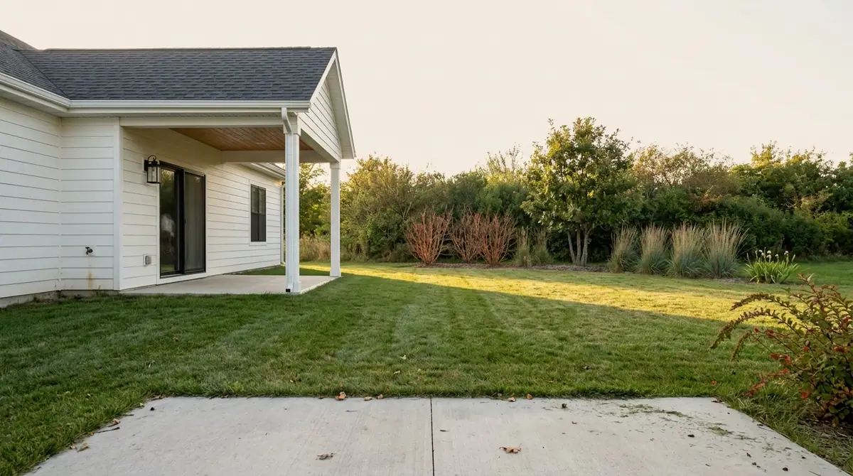
A Lennar home on Bridle Way lists for $355,990. A few miles away, a Gonyea Homes estate on Rolling Hills Parkway lists for $1,499,990. Both are new construction. Both are in Victoria. Neither price has much to do with granite versus quartz or a three-car garage versus a four-car garage.
The gap comes down to what sits underneath the lot: whether it falls inside Victoria’s Shoreland Overlay District, how close it sits to a wetland buffer, and what easements already run through the ground before a builder ever breaks it. That’s the mechanism buyers comparing “new construction in Victoria” tend to miss, and it explains a spread in this single city that would look bizarre almost anywhere else.
Beyond the Spec Sheet
To understand that range, it helps to look beyond the homes themselves.
Victoria’s own development and planning files offer more context. The city tracks every active project by name, developer, location, and regulatory status, and reading through that list makes the pattern obvious: land constraint, not brand or finish level, is doing most of the work on price.
What the City’s Own Planning Files Reveal
Take the David Weekley Homes proposal for 1720, 1800, and 1880 Church Lake Boulevard. City documents note the parcels sit within the Shoreland Overlay District and carry a 100-foot-wide pipeline easement, and the city’s own planning page states plainly what that means for the project:
“The properties are within the Shoreland Overlay District and have a 100-foot-wide pipeline easement which constrain the site and make it difficult to develop at a lower density.”
That single sentence is the whole thesis in miniature. The overlay and the easement together shrink the buildable footprint, so the proposal calls for higher density, roughly 6 to 12 units per acre. Fewer buildable acres per lot means more units have to share them.
Now compare that to Bell Maple Farm, a different proposal just up the road. That project also sits in the Shoreland Overlay District and R-1 Low Density zoning, but it’s asking for the opposite: a Comprehensive Plan Amendment for lower density, spreading 15 single-family homes across lots ranging from 0.35 to 0.56 acres, with homes expected to run at least 3,000 square feet. Same overlay district. Opposite economics. The difference is topography, wetland proximity, and how much of each parcel actually qualifies as buildable land under state shoreland rules.
Same Overlay, Opposite Playbooks
That contrast, one site pushing for density because the overlay constrains it and another asking for room to spread out despite the same overlay, is why “new construction in Victoria” can’t be treated as one product. It’s several distinct products shaped by several distinct sites.
Rowan’s Land, developed by Roers Companies just west of downtown between Highway 5, Rose Street, and the Lake Minnetonka Regional Trail, leaned into density on purpose: 125 residential units plus 8,700 square feet of retail, substantially complete as of summer 2025. Hunters Glen, built by Summergate Development north of Marsh Lake Road, went the other direction with 21 single-family lots spread across roughly 12 acres, now nearing completion. Huntersbrook Creekside folded 70 single-family lots from the original Huntersbrook development in with 13 large executive lots, construction currently underway.
None of these developers chose their approach at random. Each one worked backward from what the land, and the overlay district governing it, would actually allow.
A Snapshot of Victoria Development Projects and Their Status
| Development | Developer | Product | Status (as of research) |
|---|---|---|---|
| West Creek Village | Lennar | 18 twinhomes, 56 townhomes, 23 villas, 13 single-family lots | Preliminary plat approved June 2025; grading underway, with home construction originally targeted to begin by spring 2026 |
| Huntersbrook Creekside | Tradition Development | 70 single-family lots plus 13 executive lots | All approvals received; construction underway |
| Hunters Glen | Summergate Development | 21 single-family lots on ~12 acres | Final Plat and PUD approved; nearing completion |
| Bell Maple Farm | Not specified in city filings | 15 single-family homes, 0.35–0.56 acre lots, 3,000+ sq ft minimum | Comprehensive Plan Amendment pending |
| Church Lake Boulevard | David Weekley Homes | Higher-density residential (6–12 units/acre proposed) | Sketch Plat submitted; Planning Commission review had been targeted for early 2026 |
| Rowan’s Land | Roers Companies | 125 multifamily units, 8,700 sq ft retail | Construction complete as of summer 2025 |
| Downtown West (Olivine Apartments) | Marco McLane | 145-unit market-rate apartments | Preliminary plat approved December 2025; site grading and tree removal underway per the city’s latest update |
Seven projects, seven different answers to the same question: how much can this specific piece of ground support.
The Median Price Hides the Split
This is also why leaning on a single citywide number misleads more than it informs. As of mid-July 2026, roughly eleven new-construction listings were active in Victoria, with a median list price near $630,000. Over the trailing twelve months, the city’s overall median sale price, new and resale combined, sat closer to $590,000, up about 10 percent from the year before.
Neither number tells you much on its own. A $630,000 median sitting between a $355,990 Lennar entry-level home and a $1,499,990 Gonyea Homes estate isn’t describing a typical house. It’s describing the midpoint of two different markets that happen to share a zip code: attached and small-lot product built where the overlay district forces density, and large executive lots built where it doesn’t. Buyers who anchor on the median and then get surprised by what it actually buys are usually the ones who skipped the lot research and went straight to the floor plan.
What This Means If You’re Comparing Lots
Minnesota’s statewide shoreland rules, which every city’s local overlay district builds on, cap impervious surface at 25 percent of a lot’s area, covering rooftops, driveways, patios, and decks, and limit structure height to 25 feet in most residential shoreland zones. Setbacks from the ordinary high water level vary depending on how the specific water body is classified. The Minnesota DNR’s shoreland guidance for property owners lays out these baseline rules, and the underlying state rule itself defines exactly how lot area and buildable land get calculated.
Before you fall for a floor plan, ask three questions:
- Is this lot inside the Shoreland Overlay District, and if so, which water body’s classification applies to it?
- How much of the lot counts as buildable land once setbacks, slope, and any easements are subtracted?
- Has the impervious surface allowance already been partly used by the driveway and any planned patio, deck, or future pool?
A builder quoting a base price on a shoreland-adjacent lot may be quoting a home that can’t actually fit the finished basement or three-stall garage you assumed came standard, because the buildable envelope is smaller than it looks on the plat map.
Frequently Asked Questions
Does being outside the Shoreland Overlay District automatically mean a lot is cheaper? Not automatically, but it does remove one layer of constraint. Overlay lots often carry setback and impervious surface limits that lots outside the district don’t, which can shrink the usable footprint and push density decisions one way or the other, as the Church Lake Boulevard and Bell Maple Farm examples show.
Can you still build a walkout basement or a pool on a Shoreland Overlay lot? Often yes, but the impervious surface cap and setback from the ordinary high water level both count against what you can add. A pool, extra patio, or expanded driveway can push a lot past its allowance faster than buyers expect, so it’s worth confirming the math before signing a purchase agreement.
How do I find out if a specific lot in Victoria falls inside the overlay district? The city maintains this as part of its official zoning map and planning files, and Carver County’s GIS system includes a Shoreland Overlay District layer that can be queried by parcel. Any builder or agent working the lot should be able to pull this before you commit to a plan.
If you’re weighing a lot in Victoria against something in a neighboring west-metro suburb like Chanhassen, the questions above are worth asking on either side of the comparison. Land constraint drives price everywhere in this part of the metro, Victoria’s planning files just happen to make the mechanism unusually easy to see.
Huerkamp Home Group works new-construction and resale deals across Victoria and the surrounding west metro every week, which means we’re already tracking which lots come with straightforward buildable envelopes and which ones come with fine print. If you’re comparing floor plans and want a second set of eyes on what a specific parcel actually allows, get your free market valuation and we’ll walk through it with you before you sign anything.
This article is general information, not legal, tax or financial advice. Consult a qualified professional about your situation.